Our Year 5 geographers delved into Land Use with Mrs Pollock, Head of Geography.
Year 5 geographers set out on a mission to understand how land use shapes their local environment. Their journey began in bustling Chichester, from where they went on to explore four distinct zones:
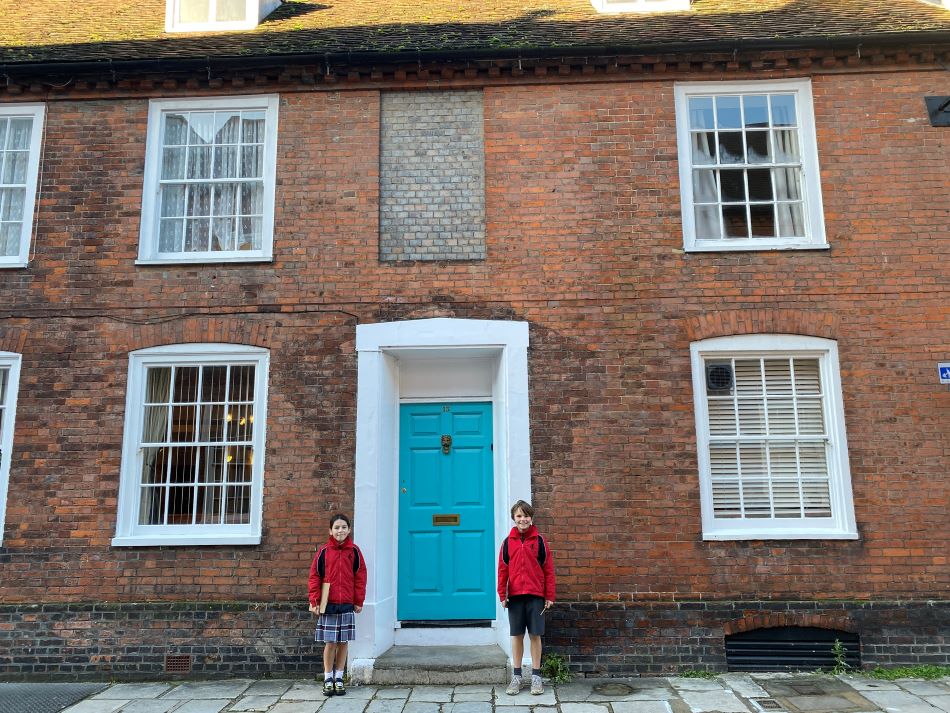
- City centre: Spotting the iconic cathedral, they observed the shops and businesses that contribute to Chichester's role as a regional hub.
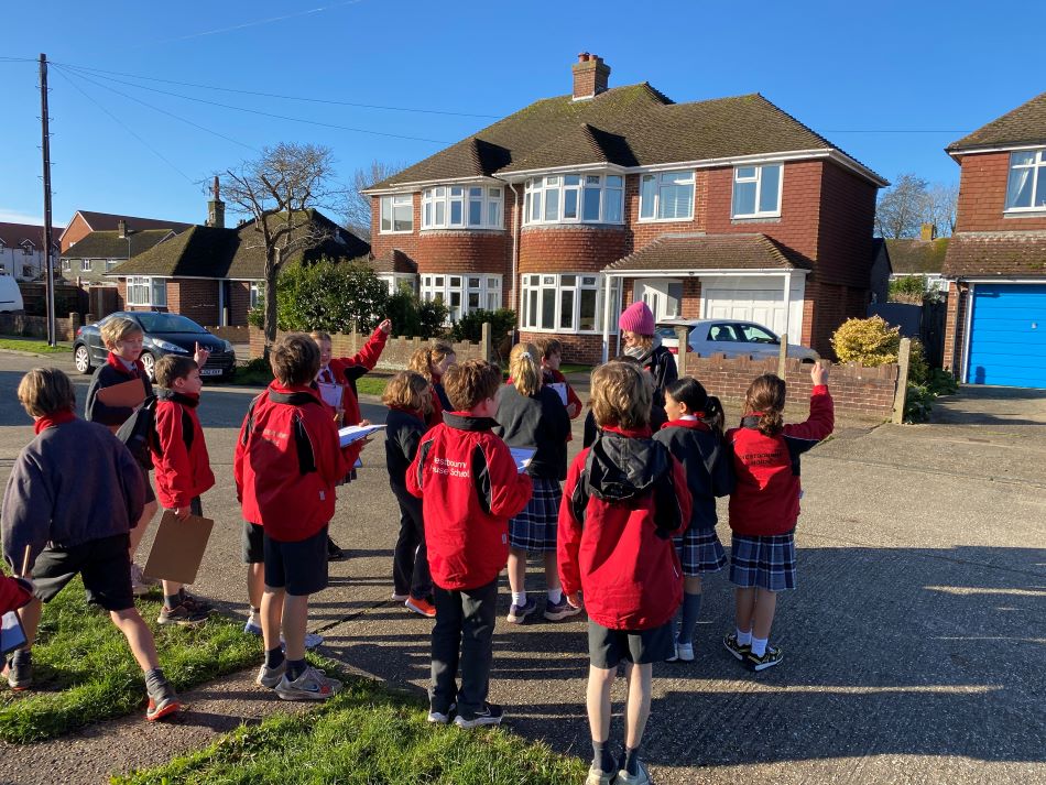
- Residential areas: Observing diverse housing styles and amenities, they discussed the importance of residential zones for people living and working.
- Industrial zones: Witnessing business parks and industrial roads and areas, they learned about the vital role of industry in providing goods and services.
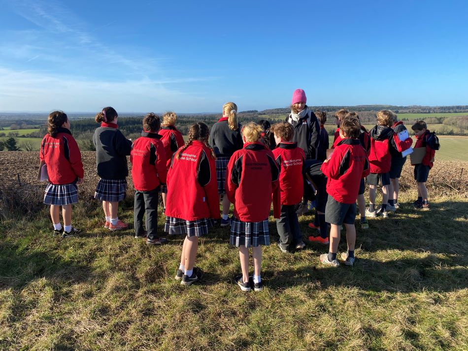
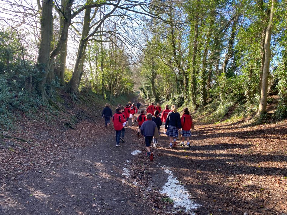
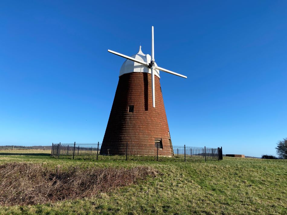
- Surrounding green spaces: Gazing upon farmland, woodland, and the sparkling sea from Halnaker, they thought about the crucial role of these areas in food production, recreation and ecological balance.
Later, donning their "history hats," they travelled to seaside Bognor to look at this seaside town. The discussed why Bognor Regis became a popular seaside destination for the Victorians.
- The town's sheltered bay and sandy beach made it an ideal spot for swimming, boating and other seaside activities.
- The arrival of the London, Brighton and South Coast Railway in 1846 made it easily accessible to Londoners, further boosting its popularity.
The attractions for the Victorians included a pier, gardens, amusement arcades and bathing machines, which catered to the growing leisure demands of the middle class.